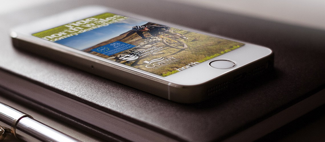
A companion to the Ride North Wales website, the RNW app for iPhones gives cyclists all the route mapping and location tracking they need without having to worry about losing their Internet connection when out in some of the area’s remotest vantage points.
The Ride North Wales app gives cyclists all the mapping and information on local accommodation they need when out and about riding the hills and roads of the Clywdian Range and the wider North Wales region. With a comprehensive set of Ordnance Survey-based route maps as part of the app’s content, cyclists are able to see their location and progress over the most detailed mapping available for the predominantly rural locale. Even if their wifi connection is lost, they won’t be!
The app also includes information about bike-friendly places to stay and eat with details of the services each accommodation offers, such as overnight secure bike storage and a clothes washing service.
Key project features
offline route mapping means user’s location is always shown
useful destination management content for planning an itinerary such as pubs, B&Bs and guest houses
“What more could a biker want from an app? Clear, concise, detailed information, designed presumably by bikers, for bikers. A wealth of information at your fingertips, which looks lovely and does exactly what you expect it to do. 100% recommended, especially for free. I’d happily pay for something this good!”
“Smooth, easy interface, good route information, and useful information about the surrounding places/attractions.”