Opus3 – Drawing Tools
0
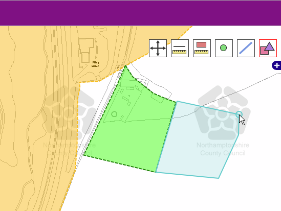
Opus3’s interactive mapping client includes customisable drawing tools for drawing points, line and polygons over your map. The drawing tools can be customised and categorised based on your own criteria for data capture. All captured data is stored in the Opus3 relational database and can be exported from the Opus3 CMS as XML, MapInfo TAB or ESRI Shape file. In addition an image file of the map with the drawn features can be generated by the User and sent as an email attachment if required.